Saving Special Places • Building Better Communities
Adapting to the Impacts of Our Changing Climate
With close to a thousand miles of coastline and low-lying topography throughout of much of the state’s coastal areas, Florida is more vulnerable than many states to the impacts of climate change and associated sea level rise.
Addressing climate change involves adapting to the impacts of climate change, including sea level rise. It also includes taking action to reduce the effects of climate change which includes changing the way we plan and develop communities.
1000 Friends of Florida is working to promote more sustainable community development practices, which can play a major role in addressing both the causes and impacts of climate change in Florida and reducing Florida’s contribution to increased greenhouse gas emissions.

Florida’s Rising Seas: Sea Level 2040 and 2070
Floridians know that sea level rise is here to stay. Sunny-day flooding, king tides, higher storm surge and more inland flooding, greater flooding during tropical events, saltwater intrusion into water supplies, impacts to infrastructure, and more already affect millions. This will only intensify over the coming decades as global temperatures continue to warm with the impacts of climate change increasing.
Florida also has to face the pressures of unrelenting population growth and sprawling development which eat into the state’s natural and agricultural lands at an alarming rate. The GIS-based Florida’s Rising Seas, released in 2023, is intended to provide insight into the intersection between new residents, development patterns, and Florida’s rising seas over the coming decades. It includes two components:
Sea Level 2040 focuses on nearer term future scenarios that could be used for conservation and other planning, including for the Florida Wildlife Corridor. Sea Level 2070 provides longer-term future scenarios to reflect the cumulative effects of many decisions over decades. Each includes baseline information and two future scenarios.
These sea level rise projections only include direct inundation and do not factor in inland flooding (such as within inland floodplains) that will occur because of broader climate change impacts.
Sea Level 2040
By 2040, while Florida’s population is projected to grow with 4.9 million more residents (a 23% increase over 2019, based on intermediate NOAA projections of a 10-inch sea level rise, Florida could lose almost a million acres of land, resulting in the need for more than 200,000 residents to relocate. Some inland counties will experience direct inundation due to sea level rise because of hydrological connections between inland water bodies and the coast. This is particularly evident along the St. Johns River.
Sea Level 2070
By 2070 Florida is projected to have 12.2 million more residents, a 57% increase over 2019. But using intermediate-high NOAA projections of about 3 feet of sea level rise, our state could lose almost 1.7 million acres, necessitating the relocation of almost 1 million residents. Inland inundation associated with sea level rise, particularly along the St. Johns River, will intensify when compared with 2040 projections.
Planning for mitigation of and adaptation to sea level rise and other climate change ramifications is essential for our water-bound state.

Projected Sea Level Rise by 2040

Projected Sea Level Rise by 2070

Projected Inland Sea Level Rise along St. Johns River by 2070
Disaster Planning
From hurricanes and tropical storms to flooding, tornadoes, wildfires and more, Florida experiences many natural disasters over the course of any given year. Disasters can also include incidents involving hazardous materials, technological hazards, terrorism and other incidents.
Perhaps more than in any other state, Floridians have learned that planning for such events is essential at the personal, community and statewide levels. Plans are developed, updated and implemented at the state and county levels to help communities plan for these emergencies and their after-effects. In cooperation with county emergency management offices, the Florida Division of Emergency Management and Florida Division of Community Affairs lead on such efforts.
Each county in Florida has an adopted Local Comprehensive Emergency Plan. Communities may also choose to adopt a Post-Disaster Redevelopment Plan to assist with faster and more efficient recovery from natural disasters while maintaining local control over recovery and building back better.

Disaster Planning for Historic Resources,
with case studies

Disaster Mitigation for Historic Structures
Webinars
View all past webinars here
Florida’s Rising Seas: Sea Level 2040 and Sea Level 2070
Population growth and sea level rise promise to be the two defining drivers of how and where Florida develops over the 21st century. Building on earlier studies, Florida’s Rising Seas focus on Sea Level 2040 and Sea Level 2070, each of which provides GIS-based analyses of how Florida could accommodate its growing population on diminishing lands over the coming decades, and the impacts more compact patterns of development, increased land conservation, and other state and community planning actions will have on our natural, agricultural, and other lands.
State Initiatives for Community Resilience in Florida
Florida’s communities are facing increasing need to address sea level rise, intensified storms, flooding and other impacts of climate change in their planning processes. In this webinar, Florida Department of Environmental Protection’s Resilient Florida Program Planning Section Leader, Whitney Gray, shared DEP’s work to implement the Sea Level Impact Projection (SLIP) studies and Resilient Florida programs. Florida Department of Transportation’s Jennifer Carver, AICP, and Mary Jane Hayden, P.E., presented FDOT’s resiliency policy, current efforts to address resiliency within the department, including some recent project-specific examples. Melissa Coleman Corbett, CFM, of the Department of Economic Opportunity covered DEO’s efforts related to addressing the Peril of Flood statutory requirements and the agency’s Community Planning Technical Assistance Grants.
Resilient305: Partnering on Community Resilience
Resilient305 is exploring ways to help Greater Miami and the Beaches adapt and transform in the face of challenges, both expected and unexpected, from the effects of climate change to inadequate infrastructure, pandemics and cyber-attacks. The Miami Foundation provides a brief overview of the project and initial implementation, followed by segments from the Chief Resilience Officers for the three founding partners (Miami-Dade County, City of Miami Beach, and City of Miami) on their resilience strategies.
Advancing Nature-Based Solutions for Hazard Mitigation
Open space, wetlands, sand dunes, reefs, permeable pavement, and bioretention features are increasingly being used to mitigate the impacts of natural hazards, while also providing multiple community benefits. FEMA has begun to recognize the value of investing in healthy landscapes for mitigating the impacts of floods, wildfires, and droughts. Presenters discuss work supporting FEMA on the economics behind their 2013 and 2016 policies, how land trust and agency partners can access these funds, and recent studies on the environmental and economic flood risk reduction benefits of Florida’s mangroves, coral reefs, and other natural features that support coastal resilience.
Planning for Community Resilience & Preservation
With a built environment of iconic historic landmarks, districts and neighborhoods of national and international significance and its low-lying coastal location (most of the city located in a flood zone), St. Augustine is particularly vulnerable to the impacts of coastal flooding from sea level rise and natural disasters. This focuses on the City’s multifaceted approach to coastal resilience, including legal, planning and engineering strategies.
Planning for Community Resiliency in Satellite Beach: Laying the Groundwork
Located on a barrier island near the Kennedy Space Center and with a relatively small population of 10,000 residents, the City of Satellite Beach is in the crosshairs of sea level rise. Find out how the city marshaled support and funding to address resilience, including the use of science-based information, and the role of Florida Sea Grant and the Regional Planning Council in this effort.
Planning for Community Resiliency in Satellite Beach: Stormwater Infrastructure and LDRs
This focuses on the plans and studies conducted over the years, the impacts of and mitigation measures for sea level rise on the City’s stormwater infrastructure, and the initiative to integrate sustainability measures into the land development regulations.
Responding to Irma: Planning Strategies to Promote Resilience in Florida’s Communities
Hurricane Irma provided a major wake-up call for the need for Florida communities to better incorporate resiliency measures into their local planning process. This webinar provides information on cutting edge strategies being used effectively to promote greater community resiliency through comprehensive planning, legal, policy and other measures.
Planning for Sea Level Rise: Legal Issues Facing Florida
Three of Florida’s leading experts on the legal ramifications of sea level rise identify potential challenges and appropriate local government responses related to permitting and infrastructure, legal tools available through Florida planning authority and strategies in South Florida communities to address some of these issues.
Planning for Sea Level Rise: Broward County Responds
Broward County and Fort Lauderdale are national leaders in planning for the impacts of sea level rise. This presentation covers efforts at the regional, county and municipal levels to develop planning strategies for Broward County and the City of Fort Lauderdale.
Participate
Accountability


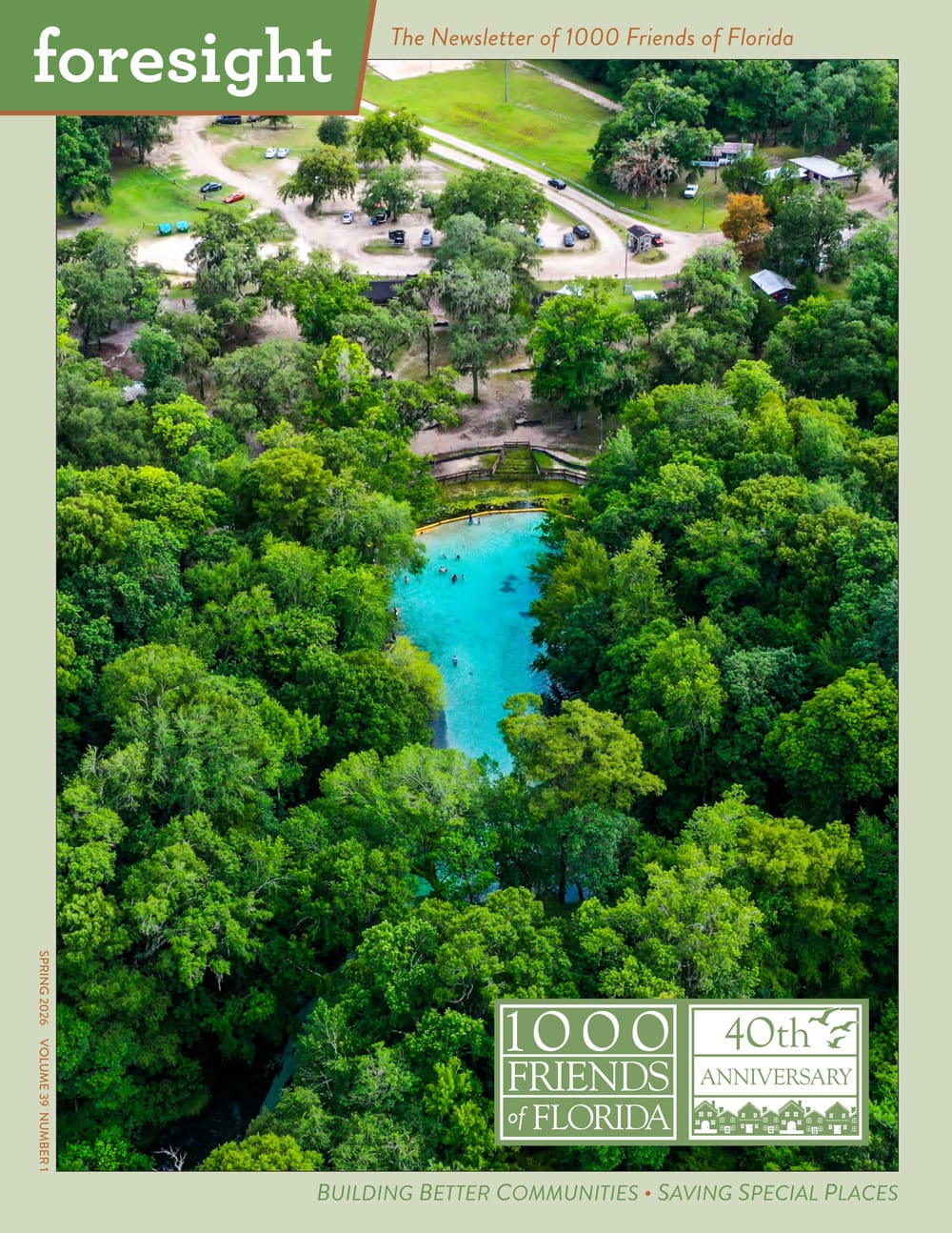
Newsletters
Annual Reports
Special Reports
